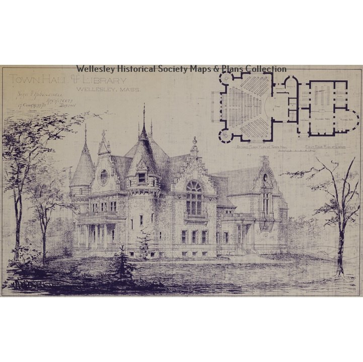
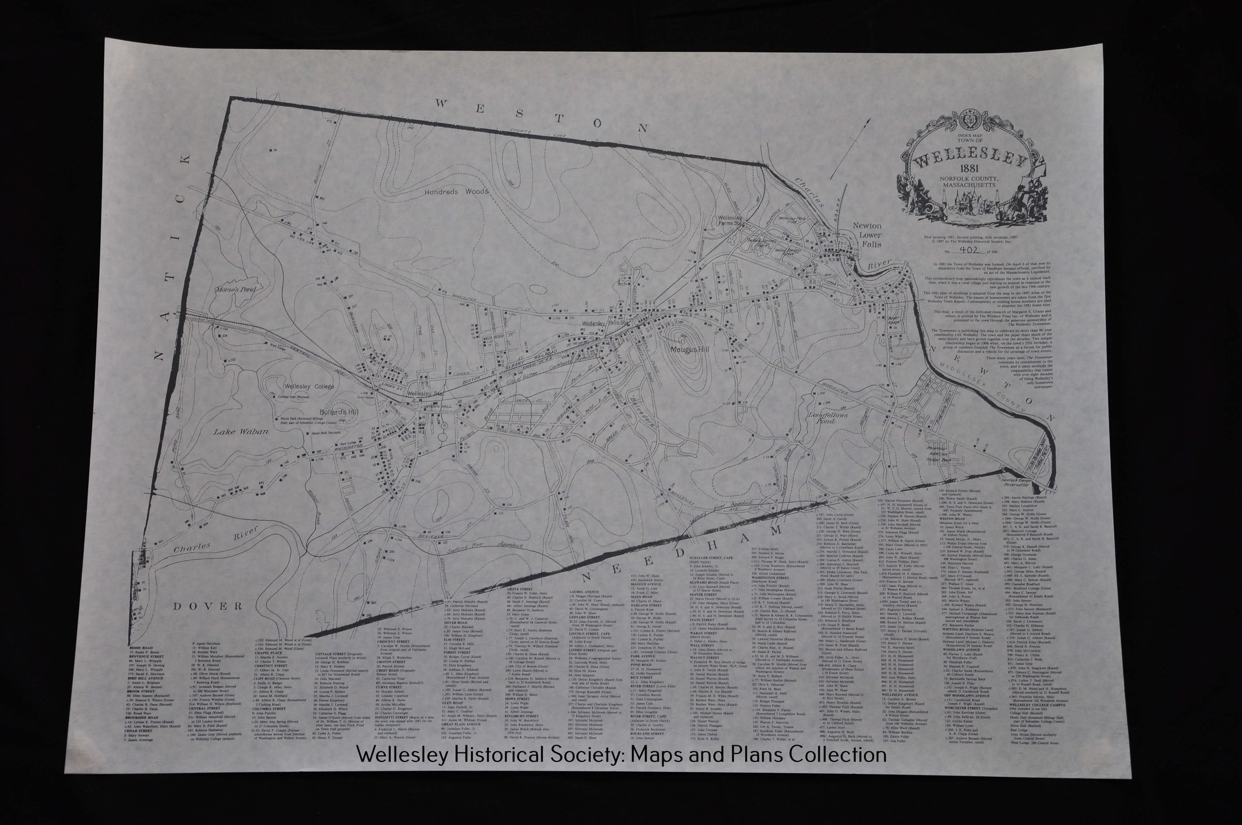
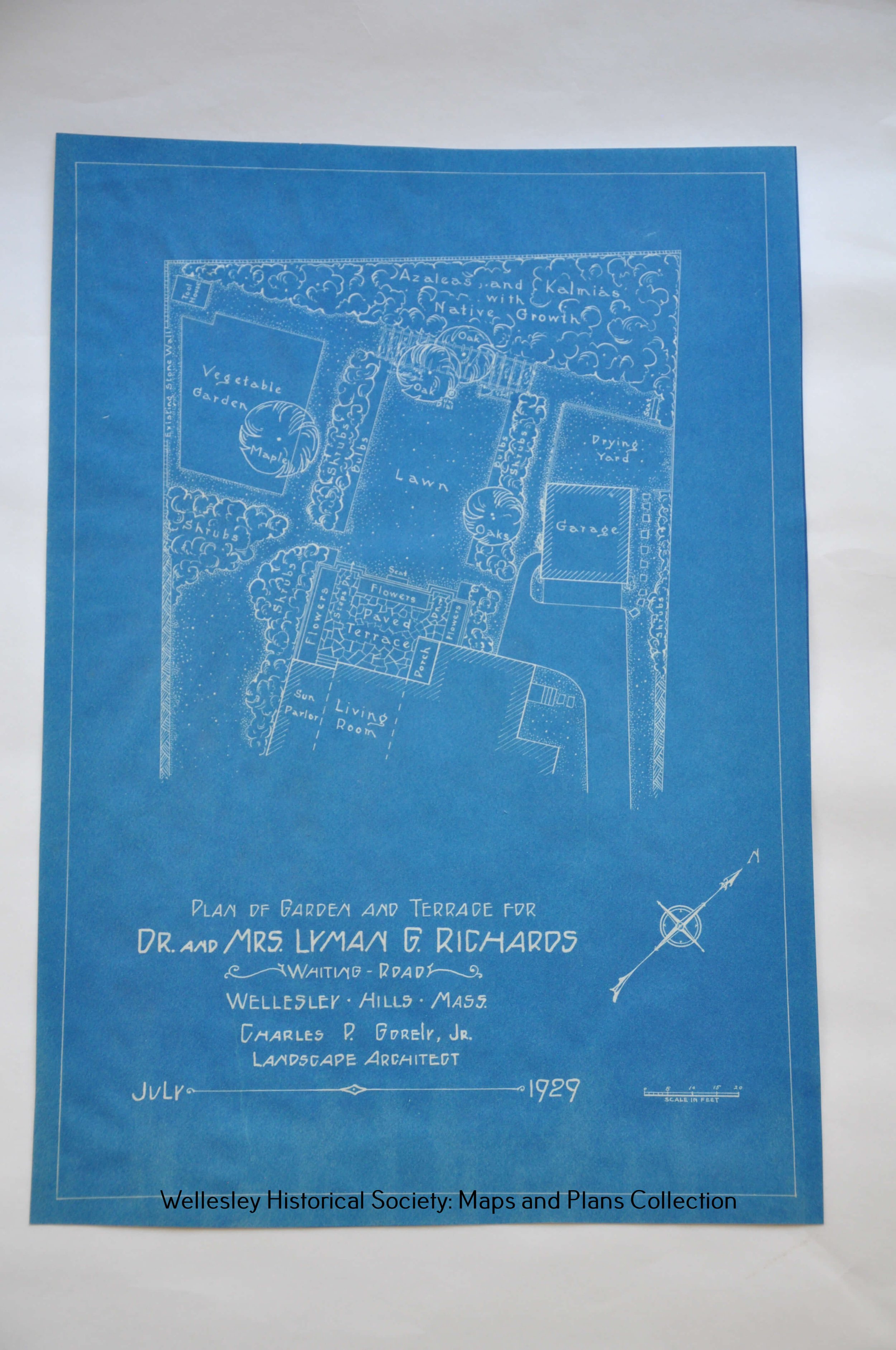
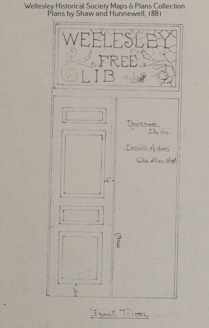
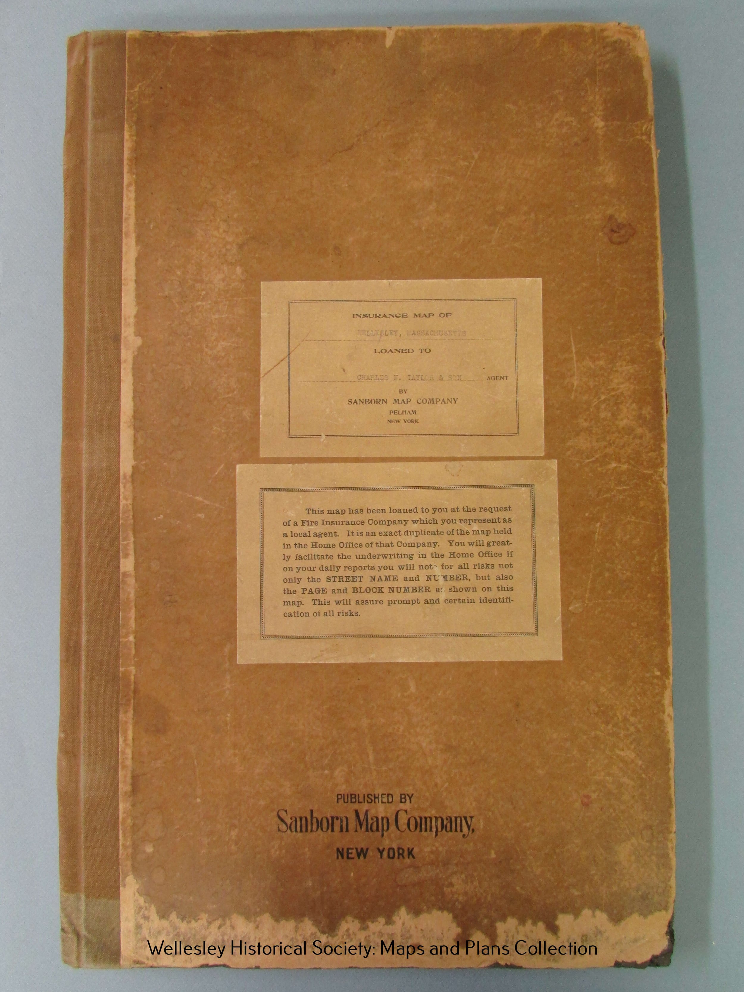
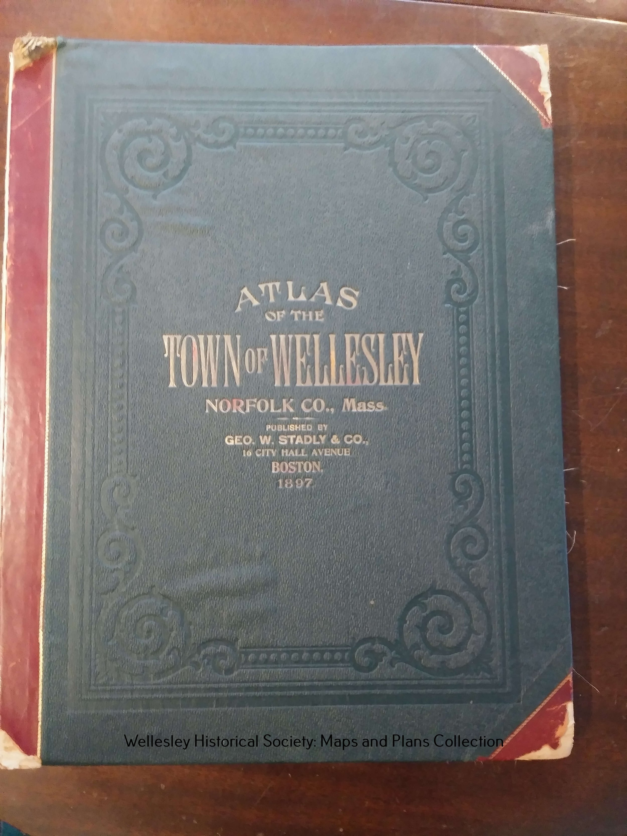
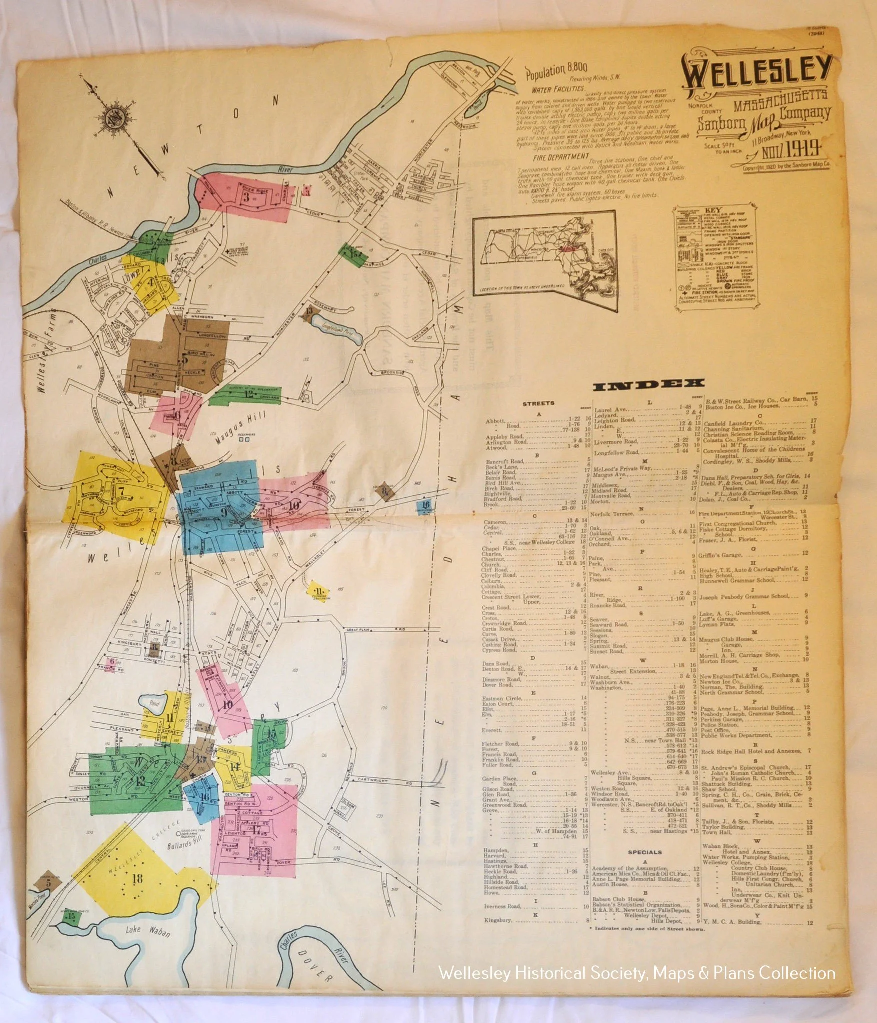
Maps and Plans
Maps and Plans Collection
- Dooley, J. Francis Blueprints and Blue-line Prints
- Estate of Albion B. Clapp Architectural Plans
- Gorely, Charles P. Jr. Landscape Architectural Plans
- Hagen, Gustav A. Blueprints and Blue-line Prints
- Pratt, Walter H. Architectural Plans
- Proctor, Benjamin Jr. Blueprints
- Royal Barry Wills Associates Architectural Plans
Maps of Wellesley found online
- 1856 Map of the Town of Needham, Norfolk County, Mass. Courtesy of the Boston Public Library, Norman B. Levanthal Map Center. See areas marked “West Needham” and “Grantville” for areas of Needham that were incorporated as the town of Wellesley in 1881.
- 1897 Atlas of the Town of Wellesley, Norfolk County, Mass. Courtesy of the State Library of Massachusetts, Real Estate Atlases Collection.
- Various Town Maps: Courtesy of the Wellesley Free Library